FAQ
Search
How to use the Emissions Map
What data do you have available on the Emissions Map?
What do the different units used on the Climate TRACE website mean?
What does the 100 yr versus 20 yr on the "Emissions Map" mean?
What do "asset type", “capacity” and “activity” on the emissions map mean?
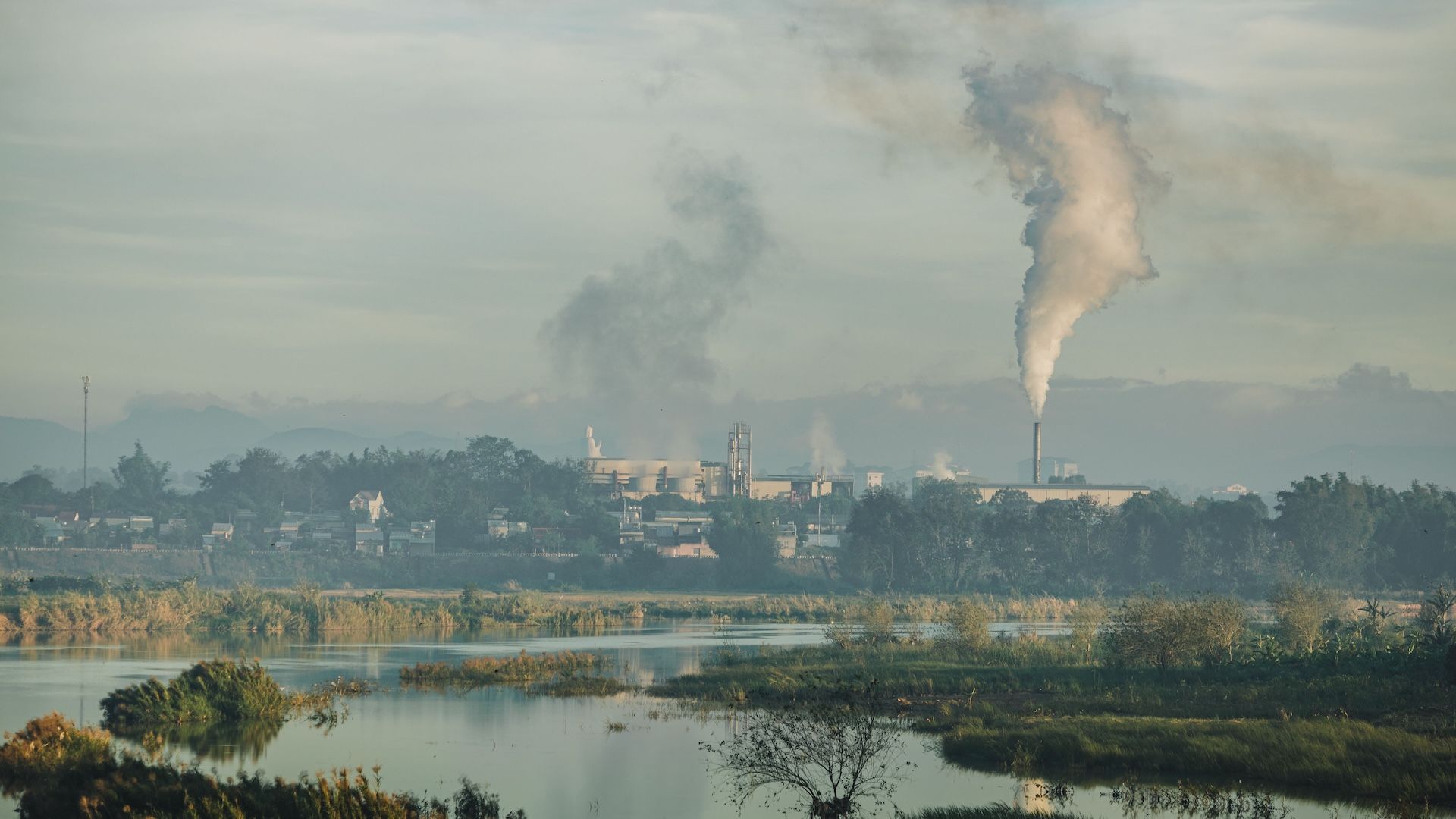
Do you calculate emissions from [sector]?
I could not find the asset/emission source at the latitude and longitude you mention on the emissions map. Are the locations incorrect?
A specific plant/ landfill/ mine from my country or city is missing from the emissions map, what should I do?
I believe your data may be incorrect for a specific plant/ landfill/ mine. What should I do?
I need help analyzing these data. Do you offer technical support?
About the Inventory
How does Climate TRACE calculate greenhouse gas emissions?
How does Climate TRACE calculate non-greenhouse gas air pollutant emissions?
How many years of data do you have?
Does Climate TRACE calculate emissions from individual sources?
How can I contribute to Climate TRACE data and analysis?
Using Climate TRACE data
Where should I get started with using Climate TRACE data?
I could not find the data I wanted in the downloads/API. Do you have more data available internally?
Who can use Climate TRACE data?
How can past releases of Climate TRACE data be mapped with new releases?
How do I map subsectors to sectors?
Does Climate TRACE provide Scopes 1, 2 and 3 data for all emissions sources?
Does Climate TRACE also include emissions from individuals?
How does Climate TRACE compare to other emissions inventories?
How accurate is your data?
Using the Climate TRACE Beta API
How do I access Climate TRACE data via API?
What data are available on the API?
Understanding Climate TRACE ownership data
What ownership data is available for [sector]?
I have downloaded the raw data but I am struggling to map these sources/plants to specific companies. Could you clarify the best way of mapping the data?
Do you have Legal Entity Identifiers or other reference codes available for companies?
Non-greenhouse gas emissions data
What is the Climate TRACE Plumes tool?
What is a "plume" in this tool?
What do "prevailing conditions" vs "worst conditions" represent?
How are the plume data created?
What sectors are included in the tool?
What can this tool tell us about health impacts from air pollution exposure?
How accurate is the plume visualization?
Who can use this tool?
What does "Approximation of Surrounding Ports" mean? Why does the point sometimes appear inland?
How can I download the plumes data?
Emission Reduction Roadmap Tool
What is the emission reduction roadmap?
How did Climate TRACE select emission reduction solutions?
What is the 'difficulty' ranking and how was it calculated?
Do any of these solutions have any negative impacts?
Why is [solution] not available? Can I give you information about it?
Who can use this tool?
Are there any caveats associated with this tool?